Projects
Stockholm's Memory
Stockholm’s Memory is a living city on a timeline: Stockholm municipality from 1252 to 2026 in 3D map. Pick a year, or press play, and watch city grows. Or just scroll through the timeline like a video editor software (adobe premiere, davinci resolve etc) and do a time travel :)
I aimed kind of a museum experience with this project. I believe it can be nice way to learn some history of Stockholm. I even learn some facts about where I live and its history :)
I built mcp server to scrape data and created couple of skills for linking data, modeling buildings from photos to automate some of the heavy lifting.
It runs in a desktop browser and works best in Chrome.
Highlights
- About 80,000 buildings, each dated from the heritage register, Wikidata, OpenStreetMap and historical maps.
- Sea level, shorelines, landfill and lost lakes that change with the year
- Landmarks modelled by hand in the form they had in each period: Tre Kronor, the Royal Palace, Storkyrkan, Riddarholmskyrkan and more
- Eras, rulers, events and chapters that guide you through 774 years
- Population and sea level for every year
- Every fact you read comes with a source you can open
- Built with Svelte 5, TypeScript and three.js, with the data built by a Python pipeline from public datasets
Rulers and their families
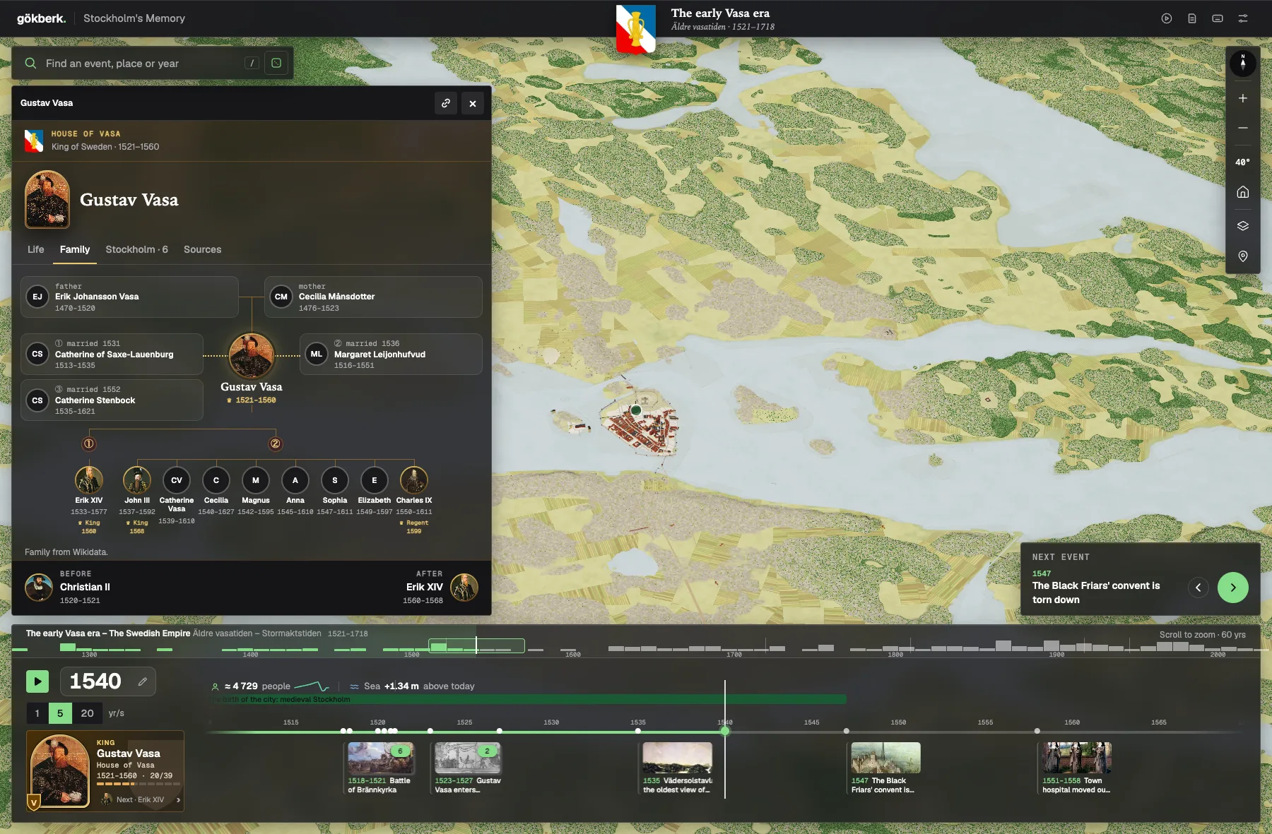
Click the ruler’s portrait at the bottom left to see who ruled Sweden in that year. The Family tab shows their parents, spouses and children, and you can walk the family tree from one ruler to the next.
Governments and the Riksdag
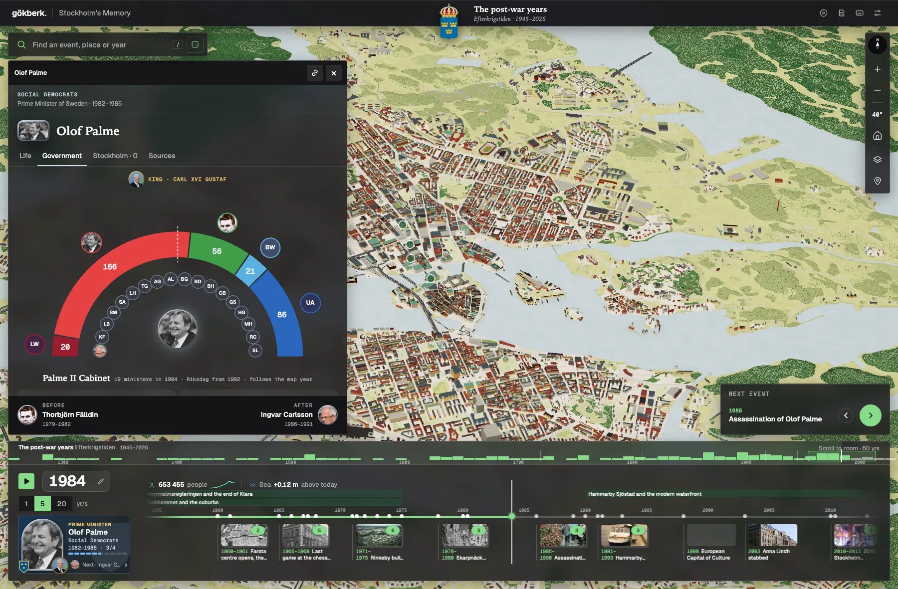
From 1917 the prime ministers get a Government tab: the cabinet and the seats in the Riksdag, following the map year.
Some of the data especially pre 1850 have some inconsistency and I am trying to figure out how can I model city better. Also pre 1650 data is very hard to find. Feel free to contact me if you have some suggestions on data sources or know how to improve this project.